

Flood resilience
Community Flood Mapping
Carteret County is experiencing increased flooding as a result of sea level rise from climate change. Lighthouse worked with NCSU’s Coastal Dynamic Design Lab to create a ‘Floodprint’ for the North River, Laurel Road and Merrimon communities.
A floodprint is a landscape design approach created by NCSU that identifies flood resilience community projects
The North River Floodprint identified 4 community projects through a series of workshops that identified strengths, challenges and community vision
Flood analysis of Carteret County
The CDDL worked with Dr. Barbara Doll to develop a detailed flood analysis for all of Carteret County. This analysis identified potential flooding scenarios, roads and locations that were vulnerable to flooding in the event of a king tide and rain event, similar to the extreme flooding that the county experienced in October of 2025.
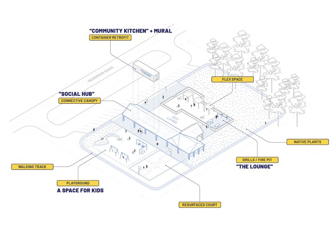
flood resilient community space
The community identified the old community center as a place that the community wanted to rebuild. However, the old community center was in a location extremely susceptible to flooding, which would result in long-term challenges such as interior flooding, rising costs of flood insurance and accessibility.
The NCSU team designed an outdoor community space and the James Fulcher Foundation jumped in to provide brand new playground equipment.
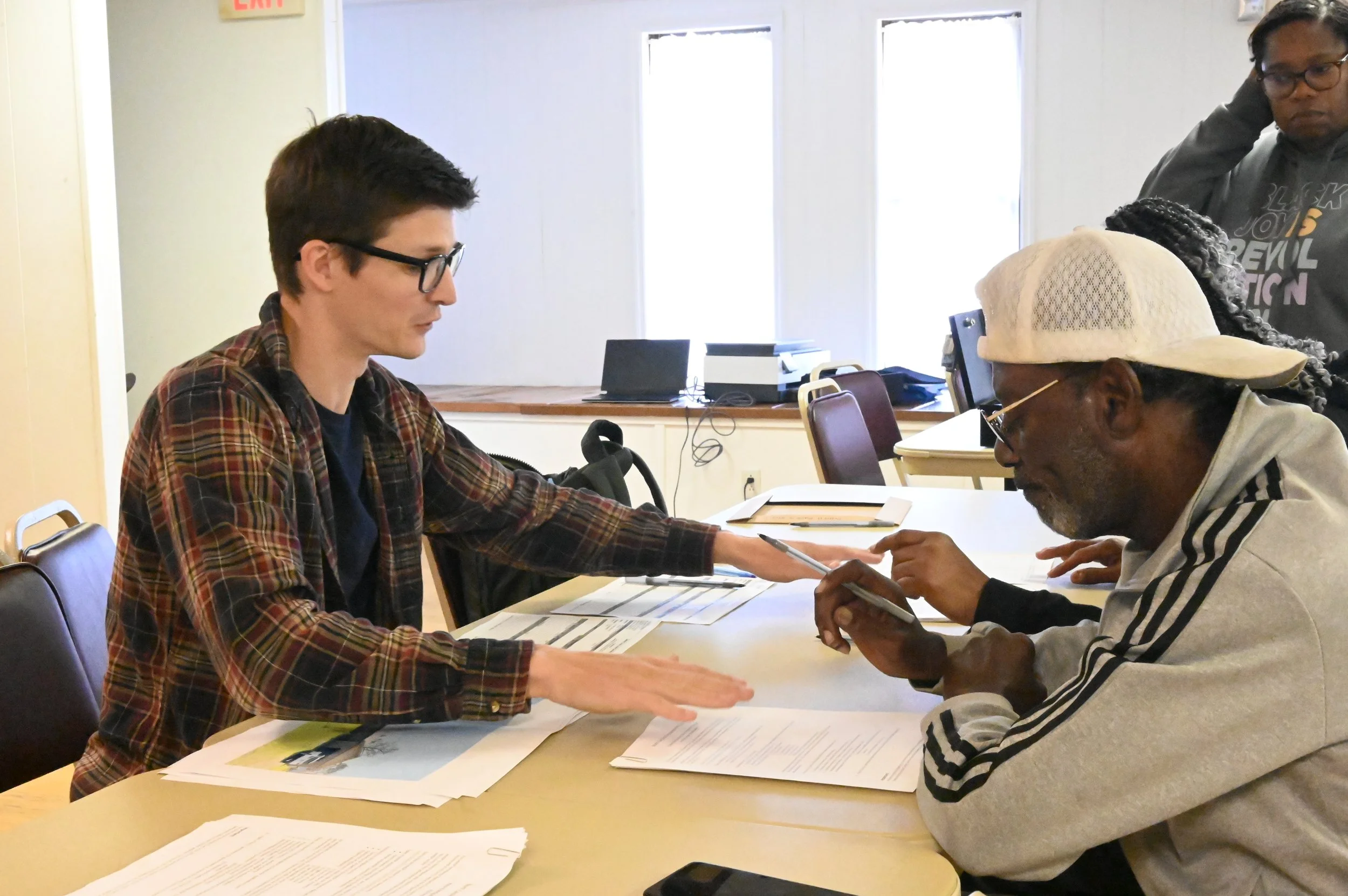
Home Elevations
Homes in the area experience frequent flooding which has resulted in mold leading to health issues.
The NCSU team with Lighthouse identified 11 homes that needed elevating and have submitted applications to FEMA for assistance in home elevation.
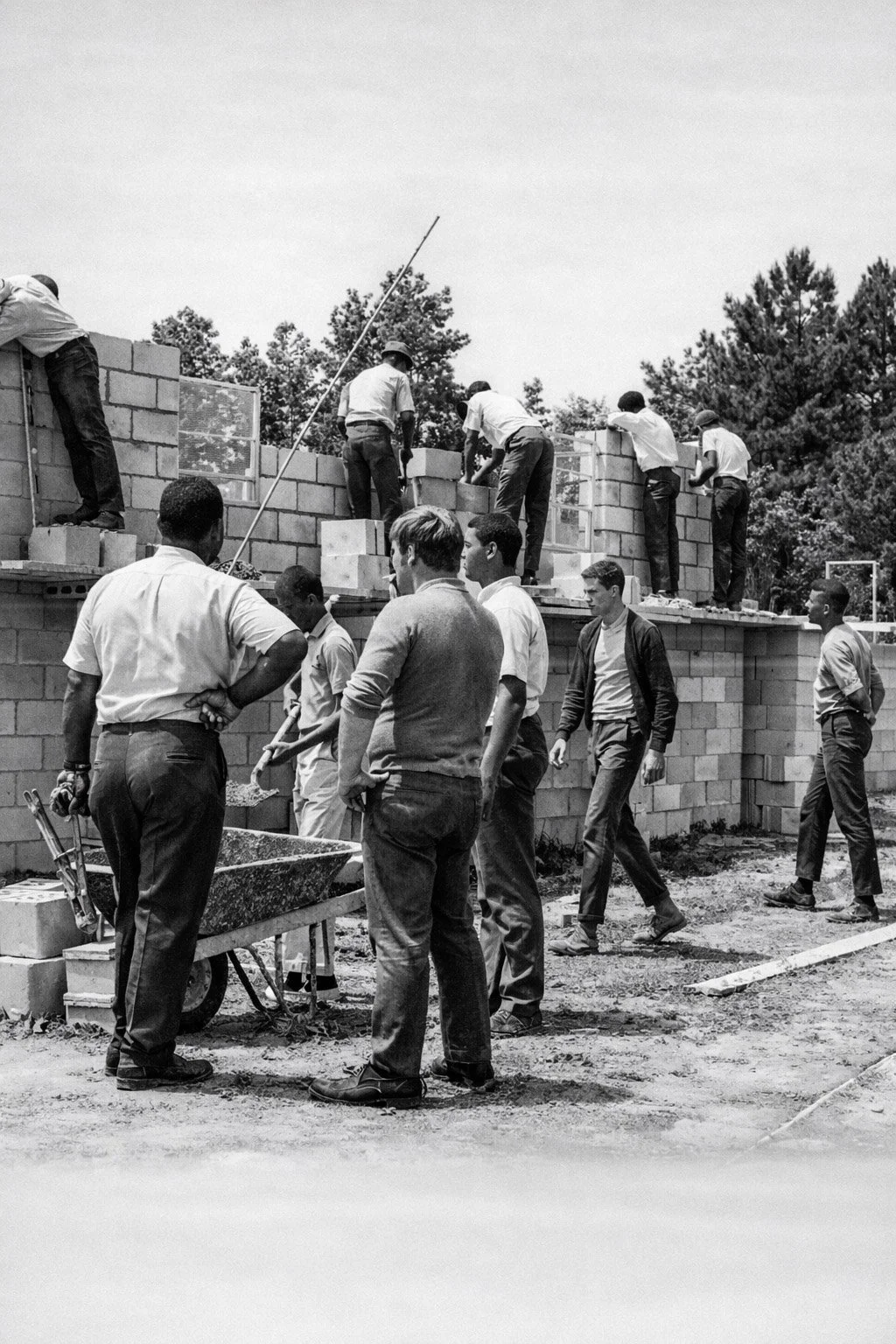
community heritage through photos
These generational communities have rich heritage dating back to the late 19th and early 20th centuries.
Lighthouse and CDDL collected photos from residents to show the resilience and tight bond of this community.